Product Overview
Navionics Platinum+ Ireland, North & West Coast | NPEU075R
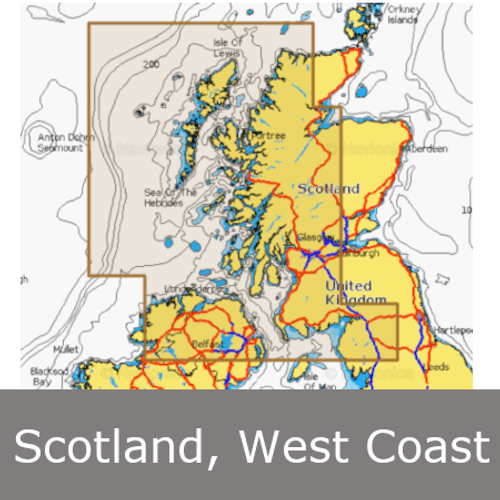
Coastal coverage of the north and western coasts of Ireland from Cork to Belfast including the entire Shannon Inland and Shannon-Erne Waterways, Galway Bay and Lough Neagh. Also included is the southwestern Scottish coast from Colonsay to Campbelltown.
All-in-one max detailed cartography for marine and lakes makes Navionics+ the perfect choice for cruising, fishing and sailing. Get the most accurate navigational data for your GPS plotter, an exclusive 0.5 m HD bathymetry map which is enhanced by boaters like you, and unique local content shared by Navionics app users.
Navionics make thousands of edits every day, so you can always have the most current charts.
The Navionics subscription
A one-year subscription to Daily Updates and advanced features (e.g. Dock-to-dock Auto routing, SonarChart Live, Advanced Map Options, and Plotter Sync) are included for one year.
After a year, you can renew at a discounted price.
Compatibility
Check Compatibility of Navionics content and features with your GPS chartplotter.


