Product Overview
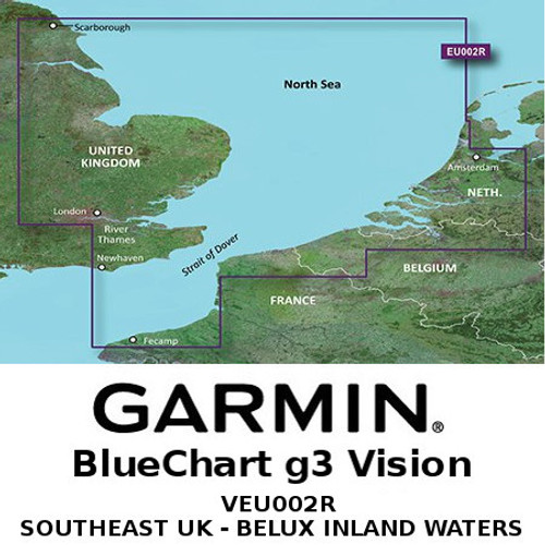
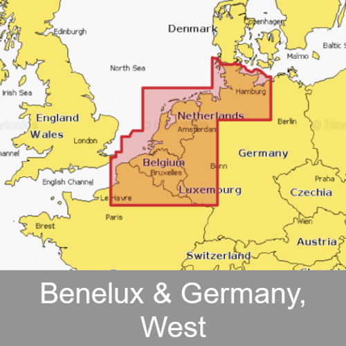
Garmin HXEU018R - Benelux Offshore & Inland Waters | 010-C0775-20
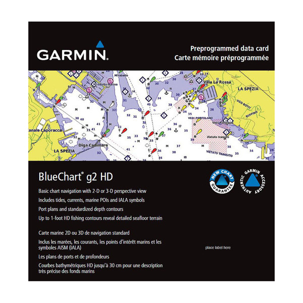
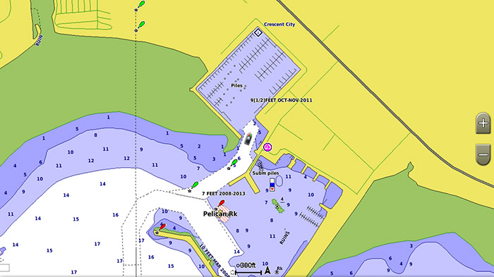
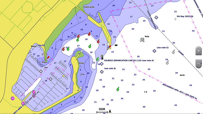
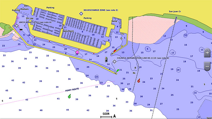
Garmin’s exclusive BlueChart g2 HD Cartography is built specifically to complement Garmin’s product line of marine Handhelds and Multifunction Displays. Take advantage of innovative object-oriented cartography and be in control of detailed high-definition nautical chart data. Providing rich colours and shading for easy interpretation and clear visibility, as well as comprehensive IALA navaid symbology and marine services.
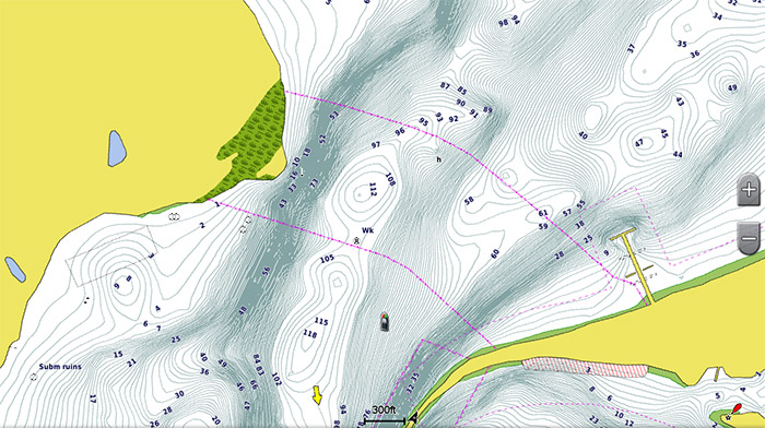
With g2 HD Cartography you are given invaluable tools for the mariner such as basic chart navigation, including up to 1-foot HD fishing contours, tides, currents, marine POIs, IALA symbols and perspective chart view. Ideal for handheld devices and for the value-oriented models of the Garmin chartplotter lineup.
Other features include 3D ‘Mariner’s View’ map perspective or the familiar 2D direct overhead view, Fishing Charts, shading between depth contours, spot soundings, navaids, port plans, wrecks, obstructions, intertidal zones, fishing charts, restricted areas and more.
SCREENSHOTS
