Product Overview
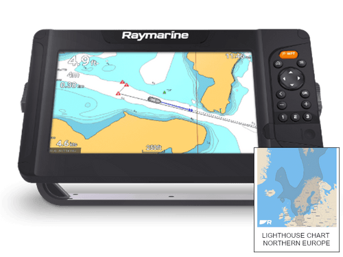
Raymarine Element 9 S with Northern Europe Lighthouse Chart| E70533-00-NEU
The Element-S series of navigation displays gives you the freedom to enjoy the open waters — select your destination and let Element’s fast and accurate 10Hz GPS/GNSS lead the way. Engineered for simplicity and affordable performance, Element-S will quickly become your trusted cruising companion. A quad-core processor offers responsive performance and Element’s all-weather, sunlight viewable displays deliver chart and navigation data in beautiful color. Element’s simple and straightforward LightHouse Sport operating system lets you navigate with confidence. Once underway, Element-S will keep you on course with a smart list of user-friendly features, such as AIS target overlays, autopilot integration, and sailing instruments displays.
Northern Europe Chart = Finland, Sweden, Norway, Denmark and the Faroe Islands & Germany
- Display: Element 9 S
- Display Size: 9.0" Optically-Bonded LCD
- Display Resolution: 800 x 480 WVGA
- Display Type: Non-Touch
- Brightness: 1,500 nits
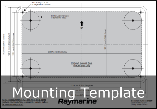
- Physical Overall Dimensions (W x H x D):287 x 161 x 62mm (11.3 x 6.3 x 2.4 inches)
- Product Weight (lbs): 5.0
- Water Ingress Protection: IPx6 and IPx7
- Operating Temperature Range: -25°C to + 55°C (-13°F to 131°F)
- Storage temperature range: -30°C to +70°C (-22°F to 158°F)
- Electrical Voltage: 12V DC (8V to 16V DC)
- Power Consumption (max 12V DC): 20 Watts
- GPS: GPS/GNSS10Hz built-in GPS / GLONASSSonar
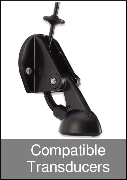
- Sonar Type: Single channel High CHIRP Sonar with 9 pin connector. Supports CPT-S transom and thru-hull transducers
- Sonar Depth: CHIRP Sonar = 274m (900 feet)
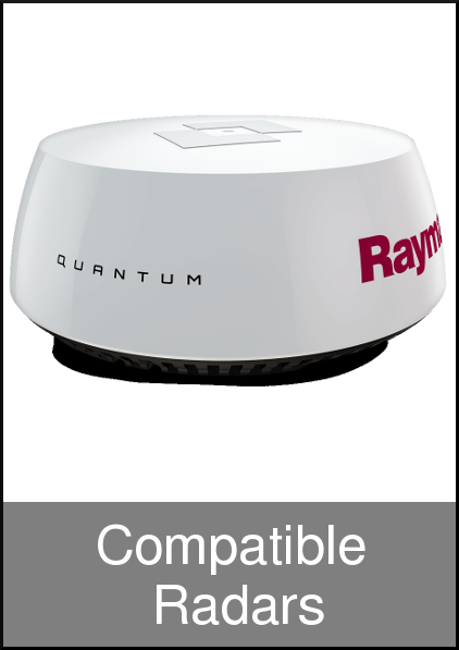
- Radar Compatibility: Quantum wireless CHIRP compatible. Wi-FI only connection
- Doppler Radar: No
- MARPA: No
- Connectivity: NMEA2000
- 1 x NMEA2000 port (DeviceNet microC)
- Supported NMEA2000 Networking
- INPUT: NMEA2000 Compatible Engines (Max 2) | NMEA2000 Compatible Tank Sensors (Max 4) | Heading Sensor (for Chart Stabilization) | AIS receiver. OUTPUT: GPS (for VHF Distress and DSC). Waypoint, Routes, and XTE for Autopilot.
- Waypoint and Route sharing between Element displays
- Wi-Fi: WiFi - 802.11 b / g / n
- Cartography: Raymarine LightHouse NC2, Navionics, C-MAP Essentials, C-MAP 4D MAX+, and compatible with all charts listed on Raymarine Chart Store.
- Sonar Mapping: Raymarine RealBathy and Navionics SonarChart Live Tides & Currents
- Requires LightHouse NC2, Navionics or C-MAP
MANUALS AND GUIDES


