Product Overview
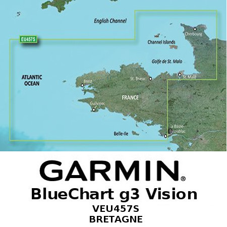
Garmin VEU457S - Bretagne | 010-C0801-00

Garmin’s exclusive BlueChart g3 Cartography is built specifically to complement Garmin’s product line of marine Handhelds and Multifunction Displays.
BlueChart g3 Vision
- Advanced Chart Detail
- Detailed Contours
- Auto-Guidance (Calculate routes and see suggested paths to follow)
- Depth Range Shading
- Shallow Water Shading
- High-Resolution Satellite Imagery (Satellite image overlaid onto charts giving a realistic view of your surroundings)
- Aerial Photography
- Marinerseye View (3D representation of the ocean floor as seen from below the waterline)
- Fisheye View (3D representation of the surrounding area both above & below the waterline)
MANUALS AND GUIDES


